RTK gives you centimetres — but only if the correction actually reaches the aircraft. That last link, from a reference point to your drone, is where most RTK setups are won or lost. This guide covers the two ways to deliver corrections — your own base station or an NTRIP network — and how to choose.
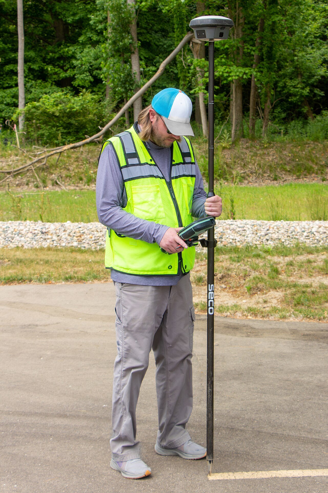
Two ways to get corrections
| Approach | How | Best for | Watch out |
|---|---|---|---|
| Own base station | Your GNSS base on site → radio link to the drone | Remote sites, no internet, repeatable operations | Base position must be established; baseline < ~20 km |
| NTRIP network | Corrections from a reference network over the internet → ground station → drone | Anywhere with cellular coverage | Needs live internet in the field; subscription; latency |
Your own base station
The classic RTK setup: a GNSS base receiver on a tripod at your site, streaming corrections to the drone over a telemetry radio (often 868/915 MHz). Self-contained, works with no internet, and once you know the base's exact position it's endlessly repeatable — ideal for the same field flown weekly. The one subtlety is how the base learns its own position:
- Surveyed point: set the base over a known monument — most accurate, and your results are tied to a real coordinate system.
- Self-survey / averaged: the base averages its own position over minutes. Good enough for relative accuracy (repeatable, tight internal consistency) but the whole survey can be shifted by however far the averaged point is off — fine for volumes, not for tying to a national grid.
NTRIP: corrections over the internet
Most operators skip owning a base and use NTRIP instead. The pieces:
- Reference network: permanent GNSS stations (national CORS networks, or commercial services) continuously computing corrections.
- NTRIP caster: a server that streams those corrections; you log in and request a mountpoint.
- NTRIP client: your ground station or flight app, which pulls the stream over cellular and relays it to the drone.
The clever part is network RTK (VRS — Virtual Reference Station): instead of one physical base, the network models the errors across many stations and synthesises a correction for a "virtual base" right next to you, which relaxes the distance limit. The trade is that you need working internet in the field and, usually, a subscription — and your accuracy now depends on someone else's uptime. ArduSimple's tutorials are the most practical walkthrough of wiring NTRIP into a PX4/ArduPilot aircraft.
The baseline limit
RTK accuracy degrades as the drone gets further from the base — roughly 1 ppm of baseline (1 mm per km) plus growing atmospheric mismatch. Practical single-base operations stay within ~10 km for best results and rarely exceed 20–35 km. Beyond that, the shared-error assumption breaks down and you want network RTK or a closer base. For most drone missions — flown over a bounded site — this is a non-issue; it matters for long corridor flights.
The best corrections can't save a badly sited antenna. Keep the drone's GNSS antenna clear of video transmitters and USB3 devices, up and away from carbon, with a clean ground plane — the reasons are in the sensor suite and RTK & GNSS guides. Most "RTK won't Fix" tickets are antenna-placement tickets.
Choosing a setup
- Reliable cellular at your sites? Start with NTRIP — no base hardware, national accuracy, minutes to set up.
- Remote or connectivity-poor sites, or repeated flights of one area? Own base, radio link — self-contained and repeatable.
- Only need accurate positions afterwards? Consider PPK instead — log raw data, process later, and dodge the live-link problem entirely.
- Tying to a national grid? Use a surveyed base point or a networked service referenced to that grid, not a self-averaged base.
Frequently asked questions
What is an RTK base station?
A GNSS receiver placed at a fixed, precisely known location that measures the current satellite errors and broadcasts corrections to nearby rovers (like a drone). Because the base knows exactly where it is, its corrections let the rover reach centimetre accuracy in real time.
What is NTRIP?
NTRIP is a standard protocol for sending RTK corrections over the internet. Instead of running your own base station, you connect to an NTRIP caster — a server that streams corrections from a network of permanent reference stations — and relay them to your drone. It's how most drone operators get RTK without owning a base.
How far can an RTK base station be from the drone?
Accuracy is best within about 10 km of the base and degrades with distance (roughly 1 ppm of baseline, plus atmospheric effects), so most single-base RTK operations stay under 20–35 km. Network RTK (like a VRS from an NTRIP service) models a wider area and relaxes that limit.